|
PHOTOS: Flooding and Aftermath from Wednesday’s Flash
Flood Event in Lowville Area
Published: July 13, 2024
By: Photos and Captions by Julie Abbass
Some photos from
independent journalist Julie Abbass of the flooding in Lowville area on
July 10, 2024 and some of the damage left in its
aftermath:

By Wednesday evening, in the aftermath of the deluge
of rain and flooding that followed, many of Lowville's streets had standing
water that was from a few inches to a couple of feet of water standing in
low spots. On Trinity Avenue the flooding was at the corner of Forest Ave.
near the railroad tracks.

More than 100 volunteer firefighters and dozens of
municipal street and road workers and law enforcement came together in
Lowville and around the county on Wednesday evening to help reach
those that needed help and try to minimize damage where possible by pumping
out basements. A village DPW truck heads through the flooding near the Mill
Creek bridge on East State Street.

By Wednesday evening, the rain was mild and
intermittent, but the flood waters were intense on many streets in
Lowville. Volunteer firefighters were helping as many people as they could
pump water out of their homes and many people were running their own pumps.
With movement paralyzed, many people sat on their front porches and watched
response efforts being carried out while others walked to the more flooded
areas to see what was happening.
According to the owner of the hair salon at the
corner of East State and Water streets, the flooding had subsided by about
7:30 a.m. on Thursday morning.
Although dozens of roads were severely damaged and
made impassable by flooding on Wednesday, Hemlock Drive (off Ross Road) was
the only street completely devastated in the village.
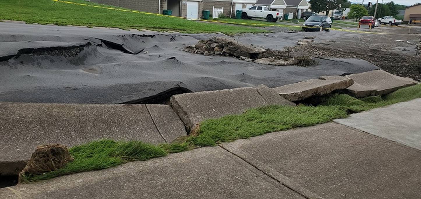
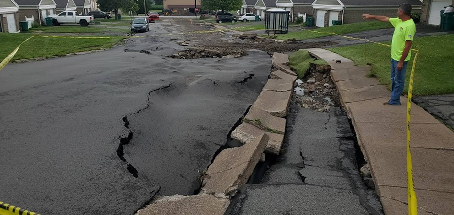
Hemlock Drive, a small circular road through a
housing complex in Lowville, Willow Landing, was ravaged on the end toward
Ross Road as massive amounts of runoff water came through from higher
ground on Wednesday. According to Willow Landing property manager Lonnie Cavallier, only one home in the complex was rendered
completely uninhabitable by the flooding.
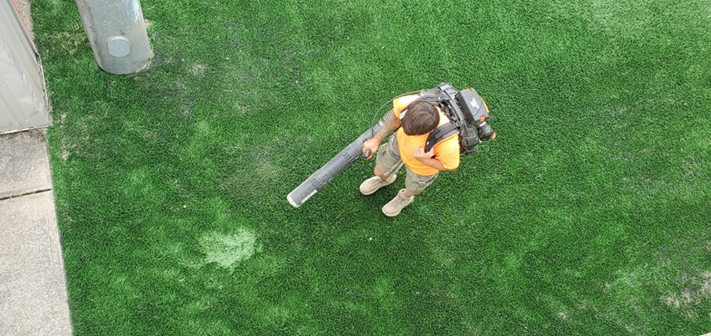
A waterfall of floodwater poured onto the Lowville
Free Academy and Central Schools' newly re-turfed fields on Wednesday. On
Thursday morning, crews were working to push out the water and mud left
behind after the flood receded.
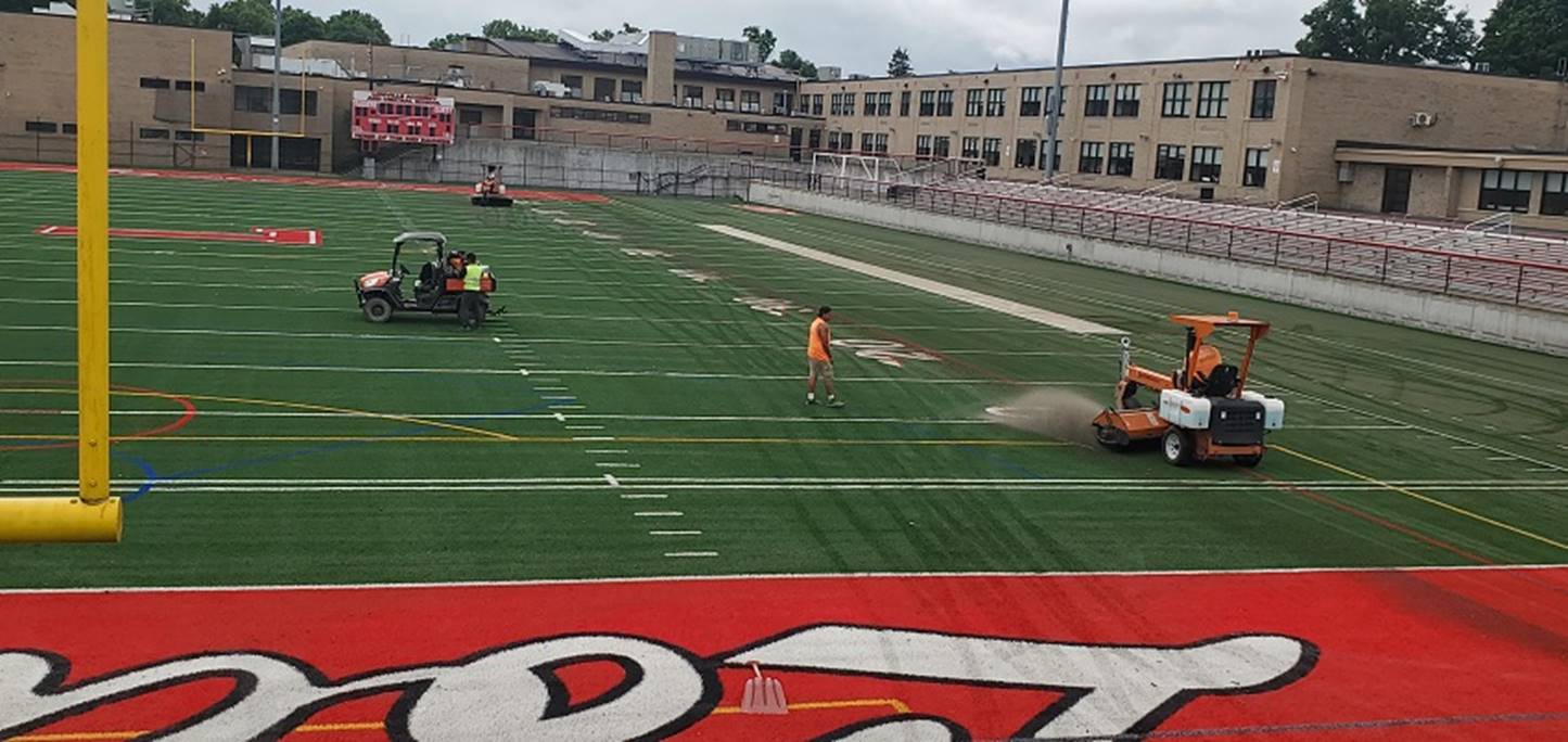
Every tool available was used to clean the newly laid
turf on Lowville Academy and Central School's sports fields on Thursday
after thousands of gallons of floodwater made its way on the fields on
Wednesday after storm Beryl made its way across the area.
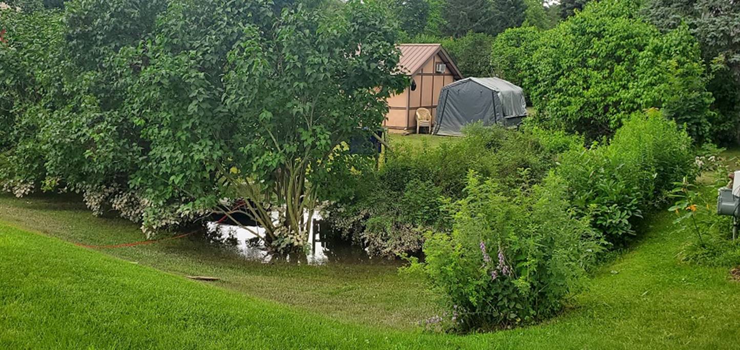
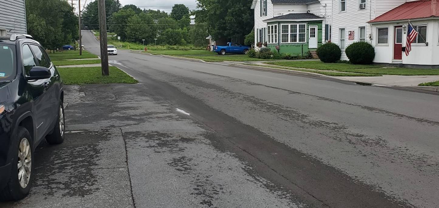
Standing water was left in many yards and parking
lots as well as basements on Thursday morning after the floodwaters caused
by Beryl had subsided and most streets were back to normal.

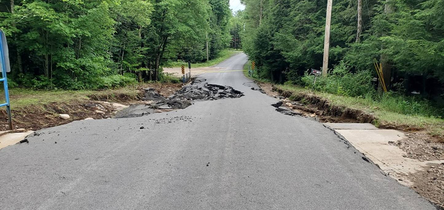
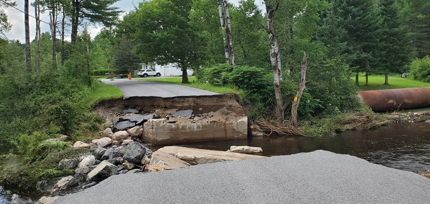
According to county officials during their press conference on Thursday morning,
the towns of New Bremen and Watson saw the most damage from the
Beryl-caused flooding on Wednesday due to the damage to more than two dozen
roads and bridges. This bridge on Wagner Road off Tillman in New Breman was
completely washed away. On Friday, the county posted an update stating that
it will be closed long term, awaiting evaluation.
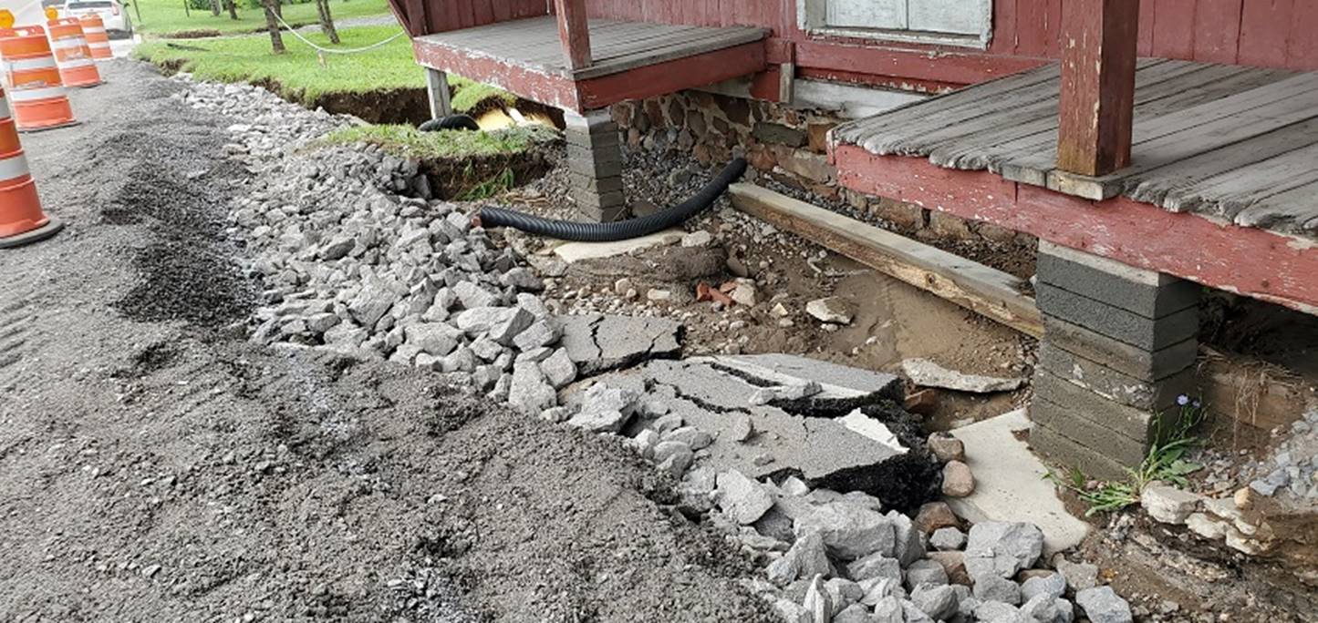
State Route 812 was compromised in New Bremen in
front of the old grist mill in flooding on Wednesday. The road line on a
piece of collapsed blacktop can be seen on the ground next to the road but
crews have added significant gravel and shored up the damaged area, making
it safe to reopen quickly.
Erie Canal Road in New Breman between the "twin
bridges" over Black Creek was carved to a narrow path by hurricane
Beryl-related flash flooding.
A floodwater swollen Crystal Creek in New Bremen
ripped out the bridge on Lomber Road during
Wednesday's flooding.
VIDEO
(YouTube): Lomber Road Bridge in New Bremen
Destroyed in Flood
VIDEO (YouTube):
County Crew Clears Out a Bridge on Number Four Road in Watson On Friday
|